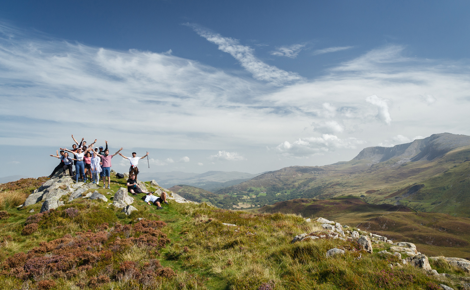

Set in the centre of the Lake District, Ambleside is the beating heart of the national park with the towering hills, glistening lakes and meandering rivers all within easy reach.
We’ve put together this collection of short walks which start from right outside our shop front door – from meadows to riverside paths, waterfalls and the remains of a Roman fort, these walks are suitable for those wanting to experience a taste of Ambleside’s wild beauty.
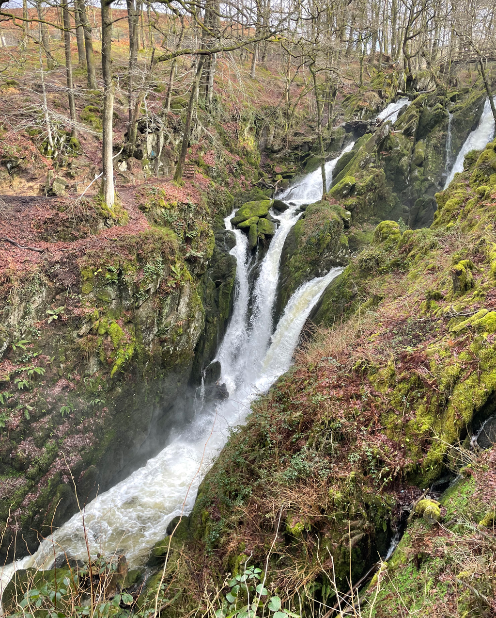
Stock Ghyll Waterfall
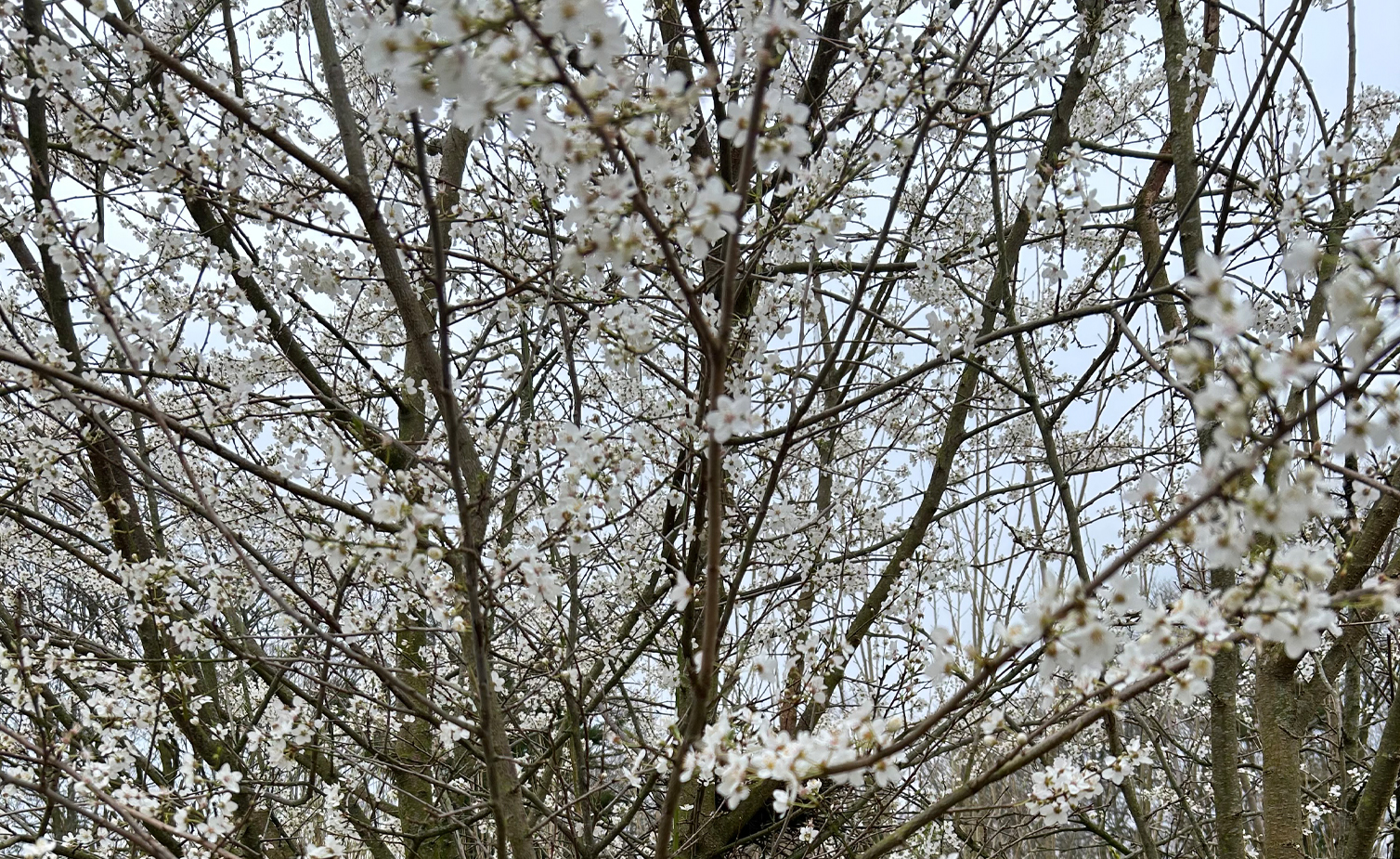
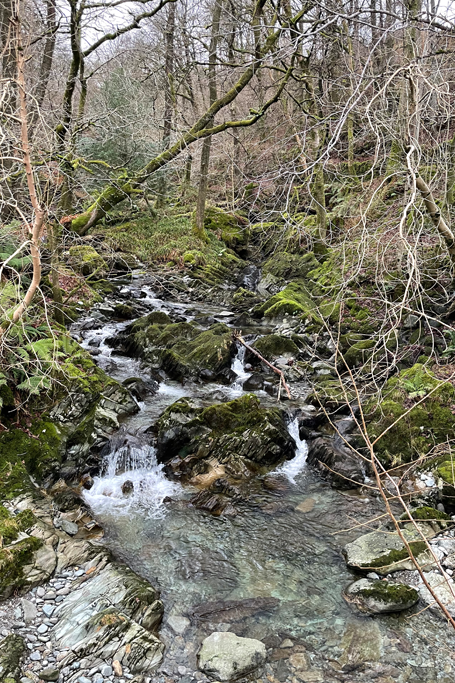
A rambling short walk uphill from Ambleside is a series of smaller waterfalls set amongst the picturesque Stock Ghyll woods that lead up to a spectacular 70-foot waterfall tumbling down from the hillside. The beauty of this walk is the subtle changes from season to season. In springtime, below the budding trees is a carpet of wild garlic and daffodils, gently shifting to wildflowers in summer. In autumn the leaves turn a fiery amber gold and despite being bare and cold in the latter months of the year, the winter rains are when the waterfall is at its most thunderous, a contrast from the gentle cascades of summer.
Duration – Approximately 1 hour. Difficulty – Easy / Moderate with uphill and occasional steeper sections. Terrain – Road and then an uneven rough track, maybe muddy after wet weather. OS Grid Reference – NY 382 045 (destination)
Directions – From our store, cross the road and take the path to the right (Stockghyll Lane) and bear immediately left where you will see a sign ‘To the Waterfalls”. Continue uphill and bear left into Stock Ghyll Woods. Follow the path through the woods. There is a loop track to the waterfall, so you can choose to take either the left or righthand paths at the bridge.
Low Sweden Bridge (with the option of extending to High Sweden Bridge)
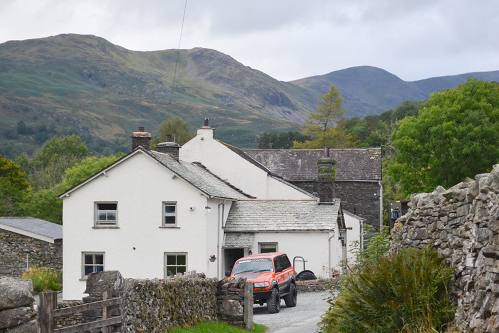
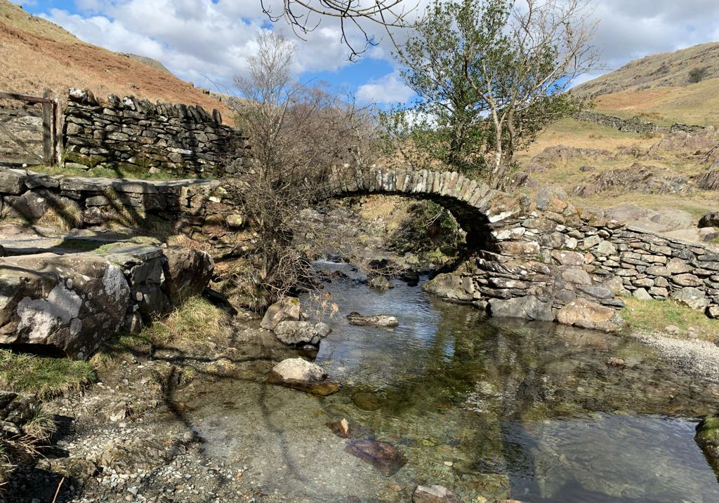
A great walk if you are short on time but looking for big Lake District views. This walk begins by passing the historic 14th century Bridge House that sits neatly over the river before continuing up Nook Lane dotted with Parisian style lamp posts and a series of houses built in the famous vernacular slate architecture of the Lakeland region. The path begins to open out for glorious sweeping views of the Fairfield Horsehorse hills and down towards Rydal Water before passing through a farm gate and joining a winding stone path that leads to the bubbling small waterfalls below Low Sweden Bridge.
Length – 40 minutes to Low Sweden Bridge, 90 minutes for the whole loop.
Difficulty – Easy uphill walk.
Terrain – Easy tarmac for the majority of the walk, with a small section of uneven track.
OS Grid Reference – NY375 055 (destination)
Directions – Head north from our store until you reach the Bridge House that sits over the river. Continue north to the small roundabout and turn right on to Smithy Brow, followed by an immediate left onto Nook Lane. Follow this path all the way up the hill, through the small farm and take a right through the gate following the path that leads to Low Sweden Bridge.
If you wish to extend the walk to High Sweden Bridge, continue on the main footpath until you get to a brow on the hill and a signpost bearing right. Head down the stone steps and over the high stile where you will see the old packhorse bridge of High Sweden. Continue over the bridge and bear right down towards the Scandale Valley, a tumbling wooded gorge that will lead you back into Ambleside.
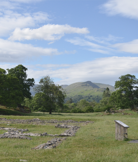
Rothay Park, The Meadows and Galva Roman Fort
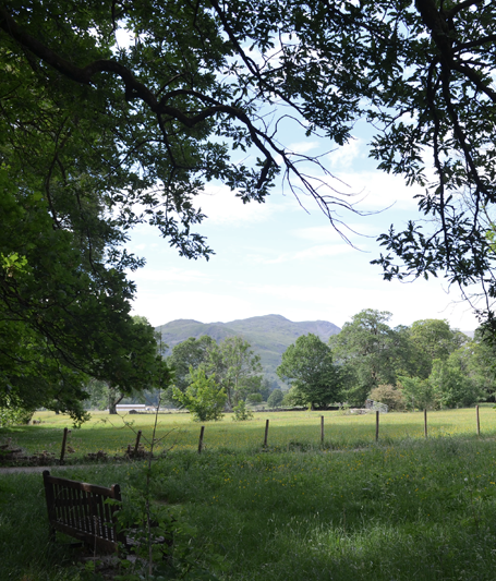
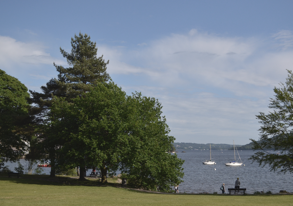
Start with a gentle stroll through the fields of Rothay Park before crossing an old stone bridge to follow a rambling road along the banks of the Rothay river. Crossing the main road, the path joins a meadow that is awash with sunny buttercups and wildflowers in early summer and home to many birds and local wildlife. The towering peak of Wansfell bares down as the footpath continues towards Lake Windermere before bearing left into the remains of an old Roman Fort dating back to the 2nd century. Continue through the fields to Boran’s Park, the perfect place for a picnic on a sunny day next to the shores of Windermere.
Length – Approximately 45 mins (one way).
Difficulty – Easy, flat route.
Terrain – Paved footpath, followed by road and finishing on a grassy footpath, which is often quite muddy after wet weather.
OS Grid Reference – NY372 032 (destination)
Directions – From our store, take a right down the alleyway marked ‘The Slack’ and cross over the adjoining road and bear left onto Vicarage Road. Continue on this path until you reach Rothay Park, head straight through the park and turn right towards the old stone bridge in the far corner of the park. Cross the bridge and turn left onto that follows the river. Continue on this road until it meets the main road. Cross directly over and turn right to meet the footpath towards Clappersgate. Take the first left over the footbridge and an immediate right through the wooden gate and into the meadows. Follow the path through the meadows which lead out into the site of the remains of the Roman Fort. Continue south to reach Borrans Park. A quicker route back to Ambleside is to head back up to the main road.
Whilst the utmost effort has gone into making these directions accurate, it is advised you consult and take a map with you prior to undertaking these walks.
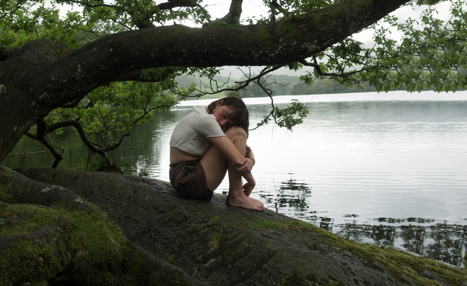
Rebecca is a writer and hillwalker based in Ambleside, find her on Instagram at @lookwithneweyes and at www.lookwithneweyes.com.